

Nic Hubbard
-
Posts
3973 -
Joined
-
Last visited
-
Days Won
409
Posts posted by Nic Hubbard
-
-
Are you on 2.0.2?
8 hours ago, Diadem said:About map rendering, I notice that Cachly re-renders when returning to a map view (i.e. back from a cache listing to the map of nearby caches). I had wondered why Cachly didn't retain and reuse the rendered tiles as I haven't moved in the 30secs since I left the map view.
Tile caching is enabled. Are you seeing the issue when you move from one offline map to another? (Such as from an offline list map to the navigate map inside of a cache?)
-
Offline map rendering will be slower on older devices since the tiles are rendered in realtime. We are working on this performance issue.
-
This shouldn't be happening. Are you able to delete Cachly and reinstall? This isn't an ideal solution but it could help in this situation.
What is your GC username?
-
Yes, private browsing is what I would check. That keeps cookies for just each tab.
-
Sadly Groundspeak doesn't allow third-party developers to add this to their apps. They said it was a privacy issue.
-
29 minutes ago, Ketil said:
Just tested this new feature, and it working wonderfully! A big thanks!

Ketil
Happy to help!
-
-
Yep. I realize the need for this feature and that many many users are wanting it. Just don't want to release it prematurely.
-
I do agree this would be a great feature. However, it would take a large amount of development time and testing as syncing is a hard thing to get right.
It is for sure on our feature list.
")
-
10 hours ago, DavSteph42 said:
Yes it that i want say ;-) Seeing immediatly the 5 last green or red dots.
Thanks!
-
-
Got it. I think this would be a nice feature addition.
-
When Cachly loads caches as search results, it loads "Lite" caches. In order to show the 5 dots we would we would have to load "Full" caches which would use part of your 6000 full caches per 24 hour limit that is imposed by geocaching.com. (Users can load 10,000 Lite caches per 24/hours)
We have considered using a Settings option to allow users to do this, but it hasn't been planned yet.
-
10 hours ago, AnyMules said:
I've been using the updated beta version mentioned in the other post for a few weeks now. I can confirm that it does a good job of allowing people in non-Seattle time zones to log caches at the "correct" date/time.
Glad it is working so well for you. We will be submitting 2.0.2 to Apple today.
-
I totally agree. However the API does not provide this info, so there isn't currently a way to do this.

-
16 hours ago, ElectroQTed said:
Wonderful! Thanks Nic.
The issue I was having, was adding text ahead of the default log, which I use at the end of all my "Found it" logs. When I tap "Log this Cache" and then "Message", the cursor is at the end of the default log. I want to add the body of my log ahead of this. I have to touch somewhere in the text of the default log and then slide my finger to the beginning of the default log to reposition the cursor. I find this cumbersome to do every time I log a cache. I also tried tapping at the beginning of the default log to reposition the cursor, but about half the time it would take me back to the previous screen because it is so close to the back arrow at the top of the screen.
It shouldn't be too hard to automatically make the cursor start at the beginning of the text, so I will fix this.
-
This is a feature that has been on our list for a while now. Just have not had a chance to add it. Hopefully in 2.1.
Can you explain the issue you were having with the default log text in Cachly?
-
This is an issue that was fixed in 2.0.2 which we will be submitting to Apple this week. Stay tuned.
-
1 hour ago, ElectroQTed said:
Using Cachly on the trail for the first time today, I encountered issues with sorting the offline caches by distance. I was on a rail trail doing part of a power trail. As I walked from cache to cache, I went to the List View and re-sorted by distance. Sometimes the closest cache was at the top of the list, but mostly it was a mix of nearby caches. The only way I could get it to sort accurately, was to close the app, reopen it, and sort again.
This is something that we are working on fixing. Basically we need to be updating the entire list for each GPS update we get. However, if it is a massive list this might have some performance ramifications, so we are working through this.
-
35 minutes ago, ZeppelinDT said:
Huh. That's weird. I wonder why that is. Although, now that you mention it, there was a recent event that was archived near me but it still shows up on the OFFICIAL app, which is definitely not supposed to happen. So I wonder if that's an issue generated on Groundspeak's end with the way they archive certain caches. (I noticed that the one archived event near me that kept showing up was archived by HQ, rather than by a local Admin or the Event creator... I wonder if that's somehow relevant).
I think the API has always worked this way. There is an option when we request caches to return caches that are archived or not. So I think it is intentional.
-
2 hours ago, ZeppelinDT said:
So I'm still fairly new to this app but I've been playing around with it over the last few days and I noticed that one of the filter options in the live search is "Exclude Archived". This has me a bit confused though, as I can't quite figure out its purpose - aren't archived caches always excluded from live searching? I guess it doesn't hurt having it there, but I'm just wondering if this option serves some function that I'm just overlooking (e.g., is there a way to actually include archived caches in live search?)
Some event caches will still show up even though they are Archived. This is the real reason for this feature, was to hide those.
-
2 hours ago, barefootguru said:
It's not high on my list, but would be nice to see at least **bold** & *italic* Markdown displayed as bold & italic in log entries.
This is actually something we introduced way back in 1.0.4, but the overhead of converting logs with markup to attributed text was causing some performance issues. After that, we determined that few logs even use Markup, so we removed the feature and kept it on our feature list to fix the performance issues and add it again in a future version.
-
1 hour ago, Høst said:
When saving logs or field notes for later. Can it be done to choose "send all" when coming home? It takes som time to send 1 at the time when sending 20+ field notes
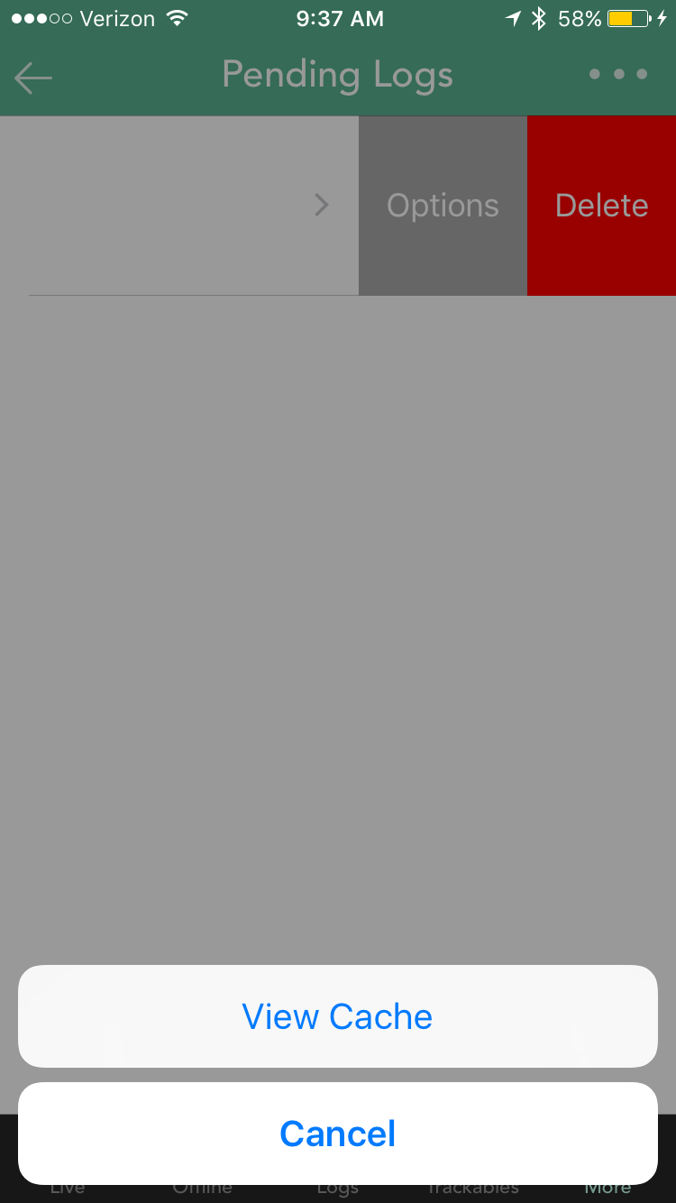
Yes, this is a feature that we have been working on. However it isn't a quick and simple thing to add. Here is what has to happen with this feature:
- Upload pending logs, one at a time to the server.
- If pending log has a trackable to log, log each trackable one at a time.
- If pending log has images to upload, upload images one at a time.
So there are quite a few working pieces to this feature. That being said, we are still actively working on it.
- DavSteph42, Høst and TheGreenTroll
-
 3
3
-
Bookmark-like support
in Feature Requests
Posted
This is on our feature list, and others have requested this as well. Will leave it here to let users vote on it.