

koc256
-
Posts
24 -
Joined
-
Last visited
-
Days Won
2
Posts posted by koc256
-
-
2 hours ago, Nic Hubbard said:
I would need some more information such as which map you are using and a more in-depth explanation with screenshots of what you mean.
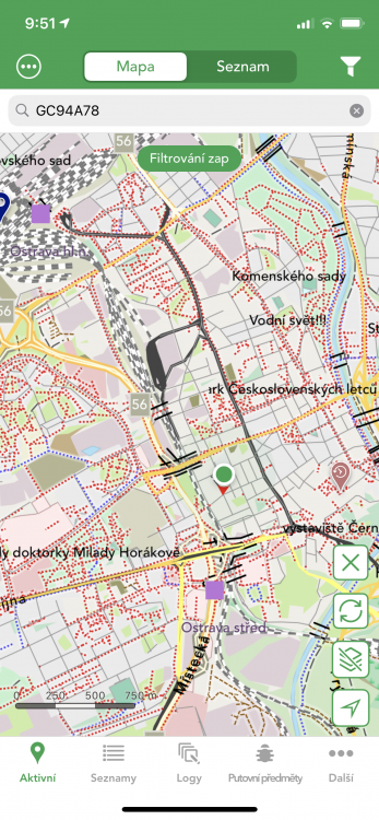
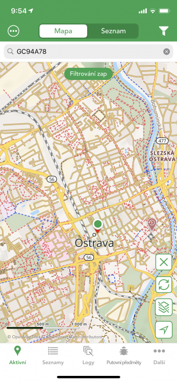
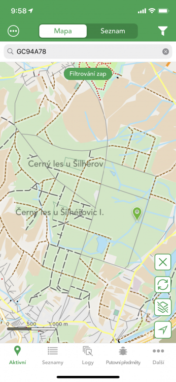
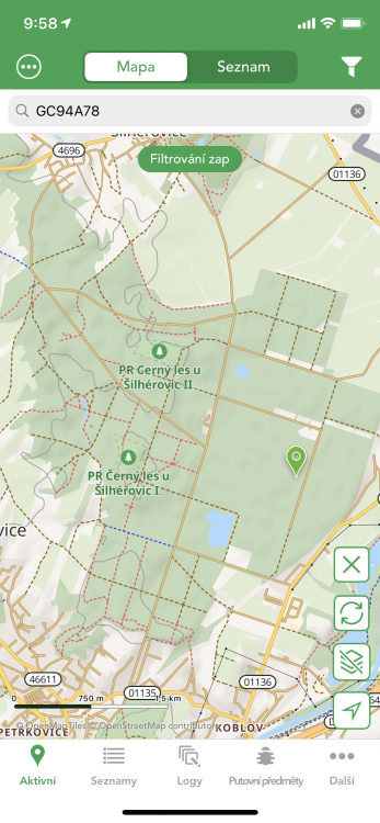
Sometimes it happens that I'm in the second view and I go to a specific place where I want to start LIVE MAPS, but then I find that I'm somewhere else. I would like to have the map at the same position when clicked.
So it would be better if the live map function could be launched from a map with saved caches.
-
When i change VIEW position on the map is different.

-
I never use it and it just annoys me there.

-
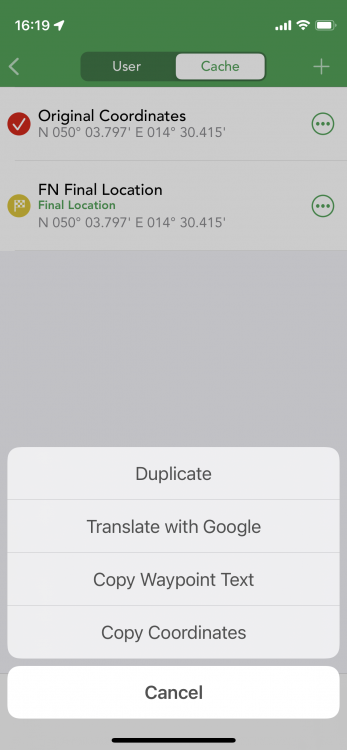
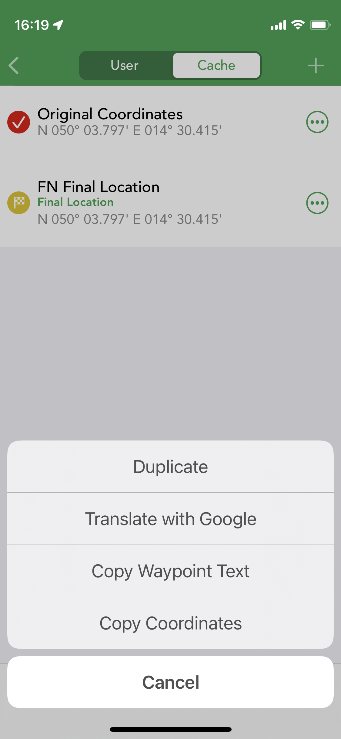
I often hunt for challenges and they have final coordinates in the waypoints. Now I have to copy them to Personal Note and set them as final from there.
Setting the final coordinates should always add the coordinates to a personal note, it uses PGC (otherwise I'd have to do it manually anyway).
-
Would it be possible to cache custom maps for offline use?
-
I have the same problem sometimes, bud I can't replicate it. In general, maps quite often behave unpredictably. It keeps moving somehow, zooming, etc.
-
Any progress?
-
51 minutes ago, Nic Hubbard said:
Are you meaning in Pending Logs, you are wanting a way to bulk insert log text into all of the pending logs?
Exactly. :-)
-
When I'm on a trip, I use protocol templates without story text. After the trip, I want to change all the protocols back, because I already know what happened and I can describe it. Now I have to change each protocol separately :(.
-
Hi there.
I have many GPX files for LAB caches in zip file. But when i want Import, so imported only two GPX files from all.
Thanx for solving issue.
-
I hate powertrails.
")
When I do an action over and over again, I try to think about how to make it friendlier.
I'm just thinking about how to make it better.
-
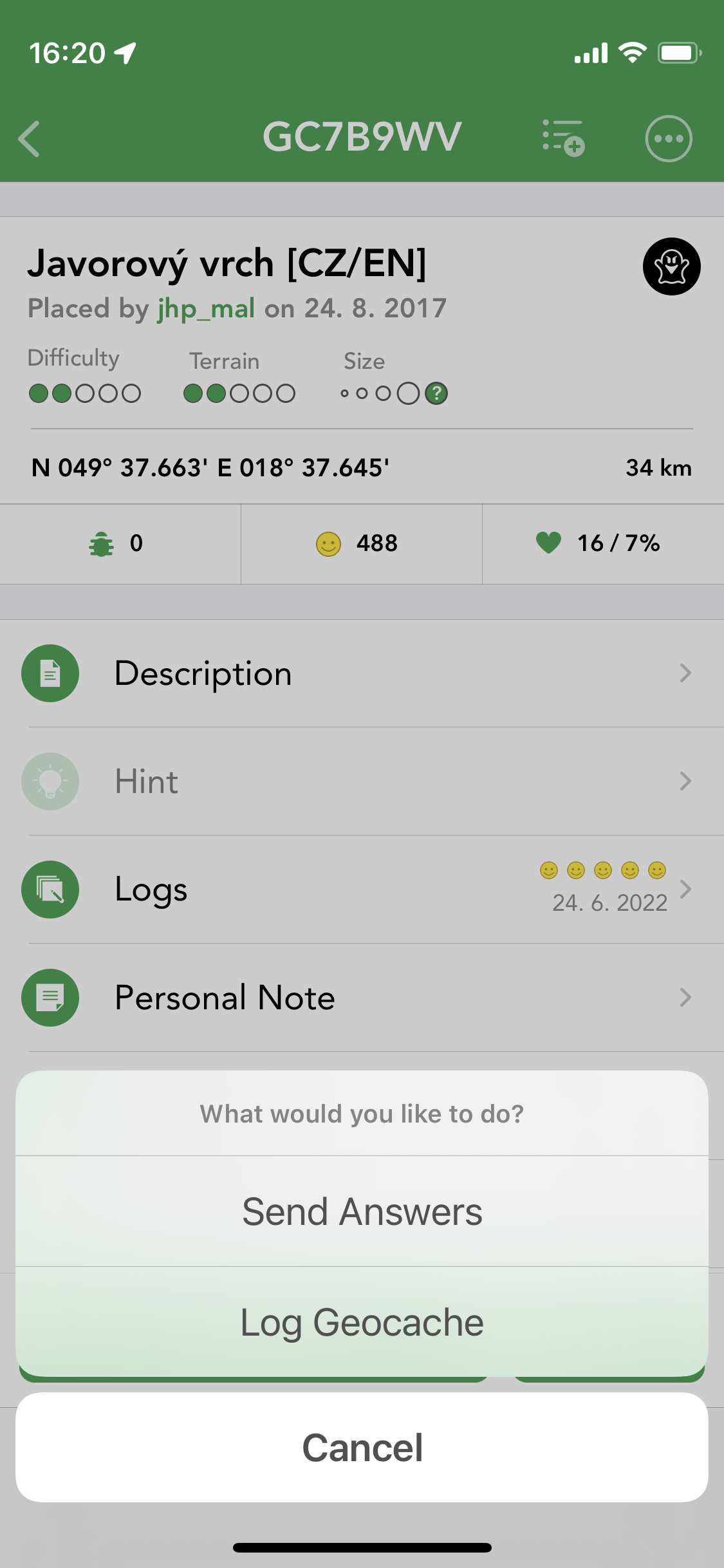
Golden scenario (3 steps):
- choice cache
- navigation
- log
Reality:
- choice cache from the map/list
- click on the navigation button
- click back
- click on the button for logging (+ save)
- click back
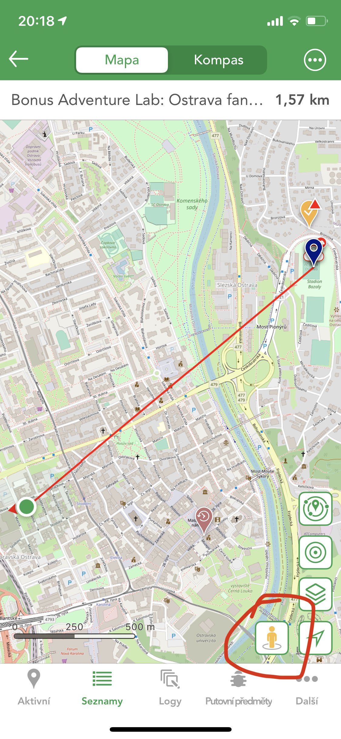
It would be better to allow logging directly from navigation, where after saving log the navigation would be canceled and I would return to the default view (map / list).
The number of clicks would be reduced from six to four.
-
1 hour ago, Nic Hubbard said:
No, this isn't a bug, and is the way our Premium Offline Maps are intended to work. Of course we appreciate everyone's opinion.
OK
All maps have similar behavior, and only one has different behavior.
For me, this behavior is an obstacle to use. But is your app and your decision.
Thank You for your time for communication.

-
1 hour ago, Nic Hubbard said:
Can you explain what issues this causes with your usage and as a geocacher? I do not see this as a bug at all.
When this behaviour is only by one map, that is annoying. I would understand if it was any ordinary map. But ONLY at the premium for which I paid? This is bad UX. It is very annoying. I assumed you could fix it when it was the fault of only one map.
-
9 hours ago, Nic Hubbard said:
This is the deceleration of the multi-touch gesture. This is normal for maps and Google and Apple maps both do this when you do a hard pinch or push.
Can you let me know what sort if problems this is causing?
It's the only map (premium map) where it behaves like this. But the premium map should be perfect, right? Could you fix it?
-
9 minutes ago, Nic Hubbard said:
In your video, can you explain the issue and how this is affecting you? I am not seeing the issue.
I have issue only with premium maps. Standard map set does not have this issue.
Under unspecific circumstances sometimes happen, that while I zoom in or out, map do not stand on a place when I stop zooming (doing multitouch gesture) but jump a little bit further (zooming out) or closed (zooming in). It looks like it has (only sometimes!) some predefined levels of zoom. Or it looks like it has (sometimes) some sort of inertia. This is inappropriate behavior.
13 minutes ago, Nic Hubbard said:In your screenshot, it looks like you have a lot of map details turned off. Long press the map layers button and choose the options you want to see:
Color are better when are turned on more details... Thanx.
-
In L4C I can display Waypoints with just one click on the icon cache on the map.
In Cachly I have to click on the cache Icon > open detail > navigate icon. This procedure is lengthy, but it is very common. Optimization would be great.
However, the display of information for icons is much better by Cachly than L4C
-
31 minutes ago, Nic Hubbard said:
In Cachly, you can long press on the map layers button to quickly access previously used maps. Using this method you can quickly switch back and forth between offline and satellite.
Nice! That is sufficient. Thanx! One of problems is solved ;-)
-
3 minutes ago, Nic Hubbard said:
Cachly also uses OSM for our map source, but I wouldn't ever copy or use another apps maps.
I would welcome the opportunity to have OSM as offline maps.
4 minutes ago, Nic Hubbard said:Can you show me an example of what you mean?
28 minutes ago, Nic Hubbard said:Looking at your screenshots, I think everything looks pretty good in our Premium maps. Can you point out some things that you feel are missing from the Cachly maps? Also, please remember that as with many other iOS map types, map objects will appear as you zoom in. Meaning you will see a more detailed map as you zoom in.
Yes, i know, but theese maps are worst than OSM. OSM has better color e. g.
Detail.
-
10 minutes ago, Nic Hubbard said:
Hi, I am not sure what you mean, can you explain? Cachly provides navigating using many different apps, and they will show up in the list if those apps are installed.

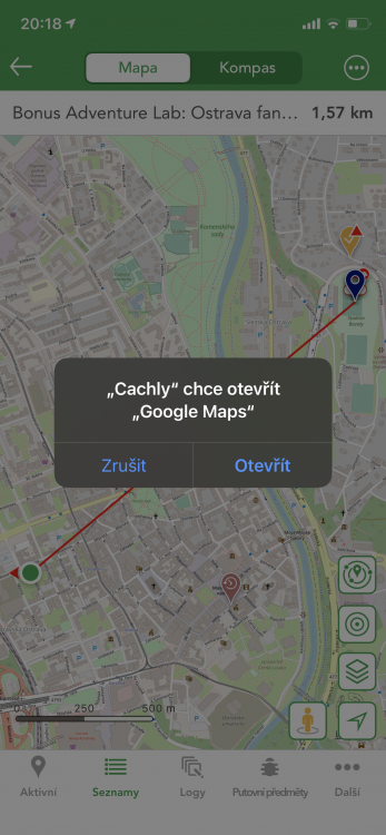
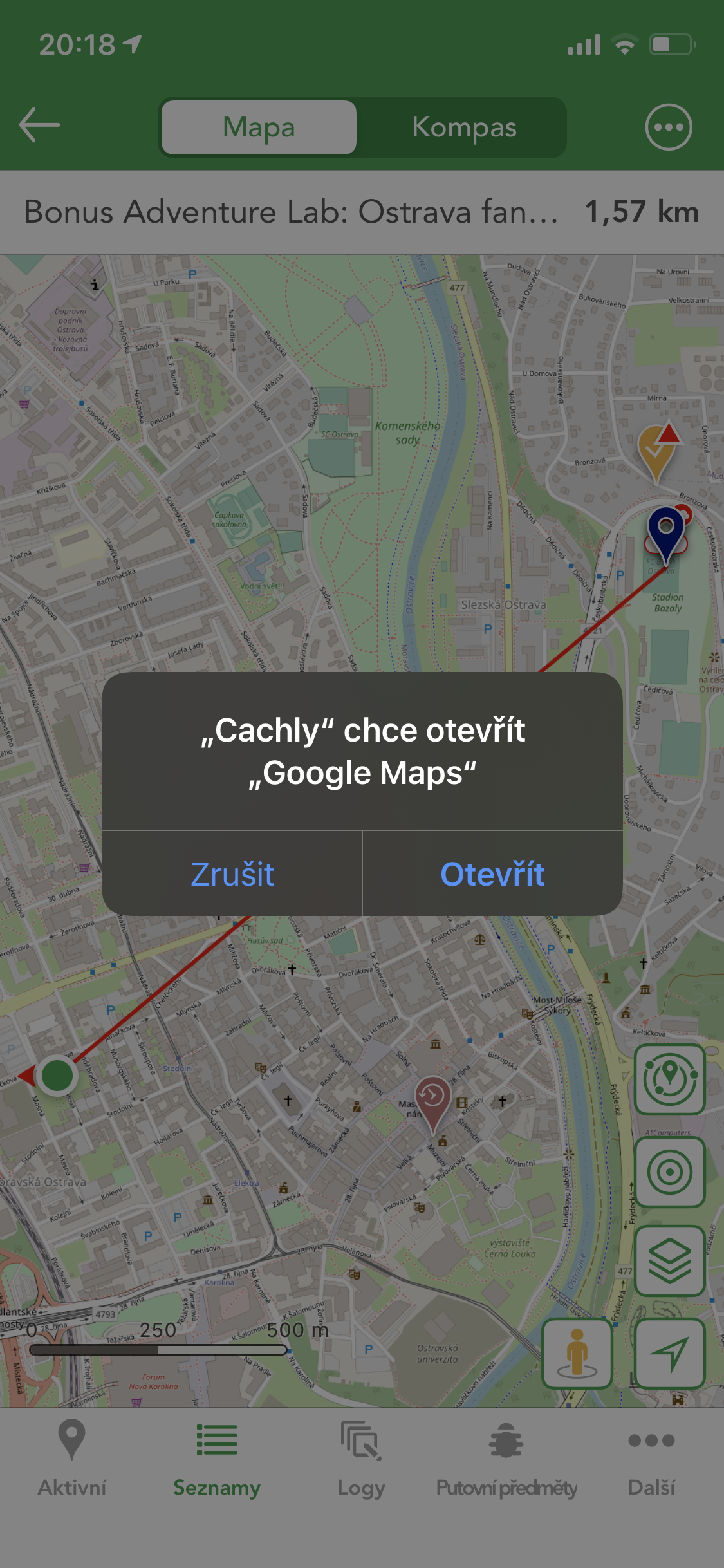
I would like to have a WAZE provider there.
-
In the L4C app, the overlay is a one-click photomap. Icon is in the left-top corner.
In Cachly i have to change maps. When I selected more maps layers (more states), then I have to repeatedly selected more map layers :(.
-
I'm using for default navigate WAZE, but my preference cannot be saved as an icon function.There are only Google maps
.
-
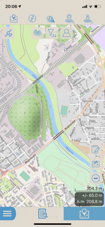
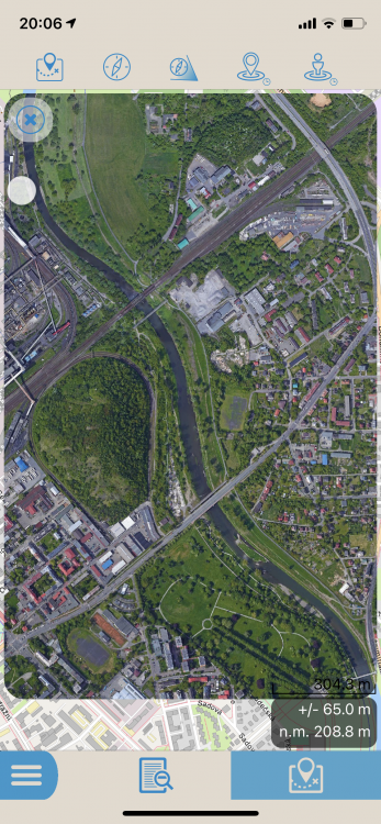
Hello,
I am migrate from L4C apps to Cachly. Lots of function are better than in L4C, but one big drawback are maps. I have STANDARD MASP and PREMIUM MAPS, but both are worst than maps in L4C :(.
CITY:
L4C - CACHLY STANDARD - CACHLY PREMIUM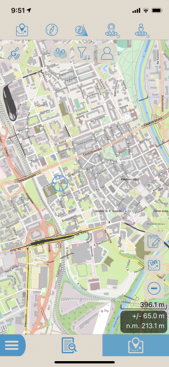
FOREST
L4C - CACHLY STANDARD - CACHLY PREMIUM
And PREMIUM maps is worst for using, because during zooming the map changes its size slightly by default :(.
Please add maps layers from L4C apps to Cachly. There are OSM maps.


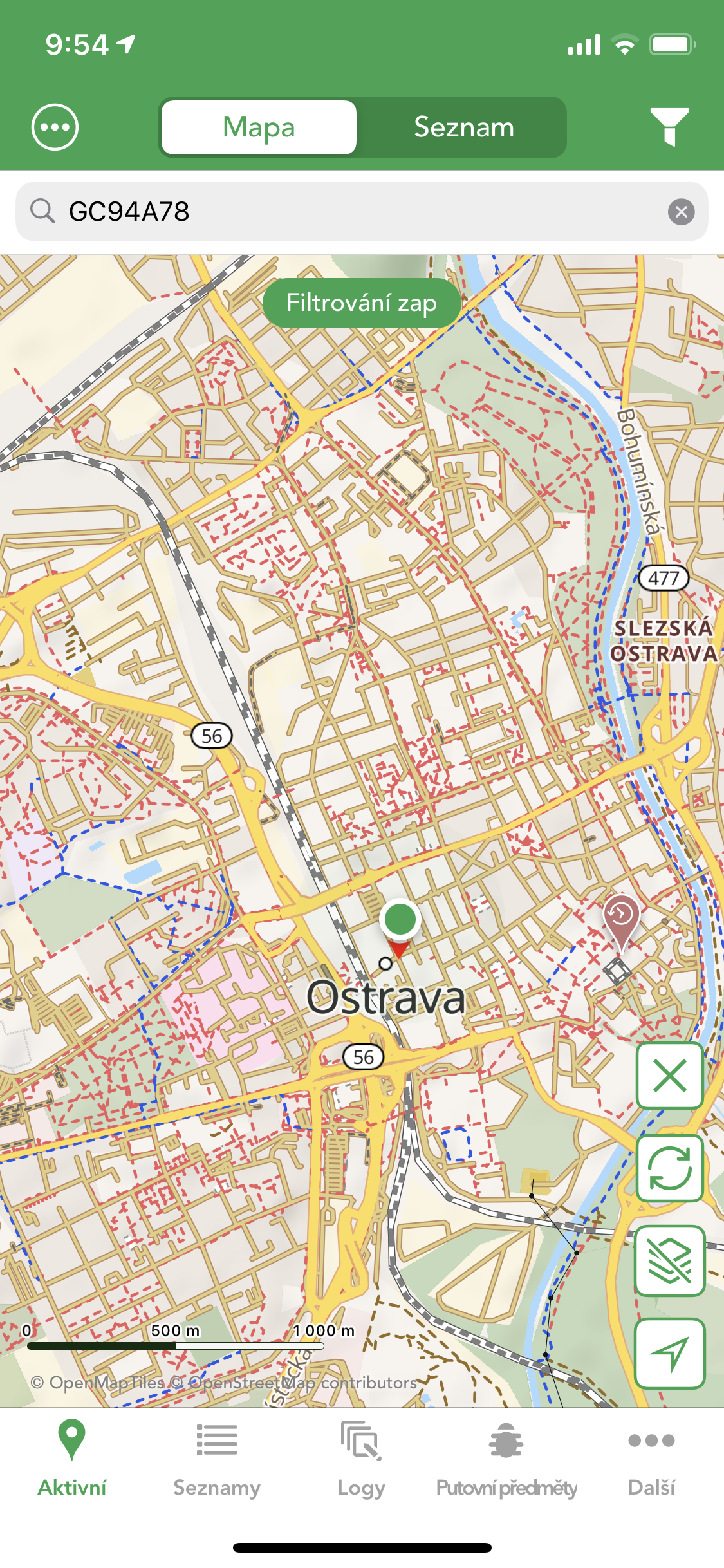
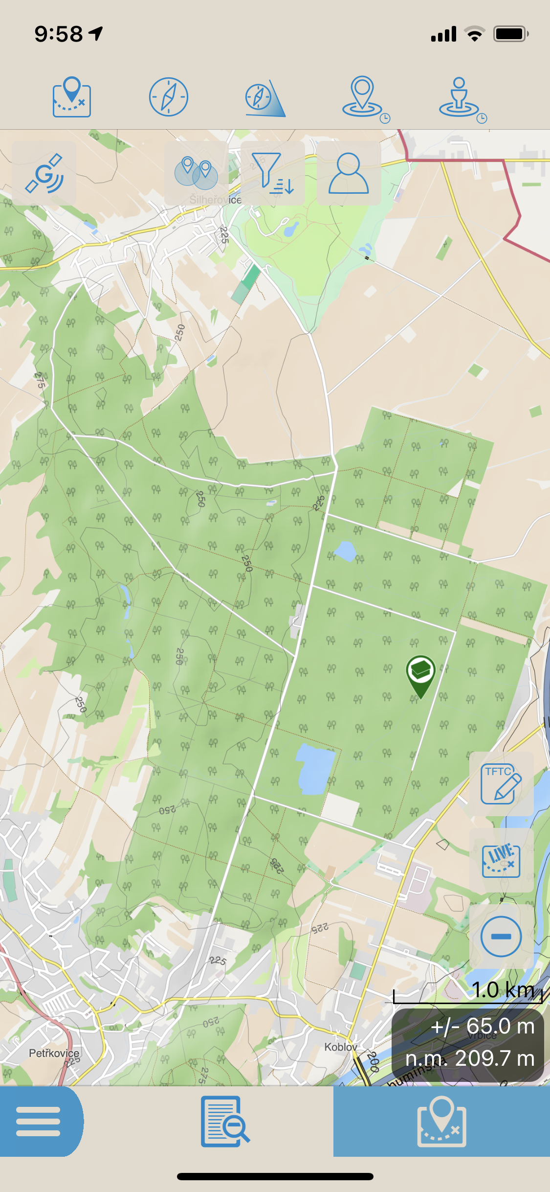
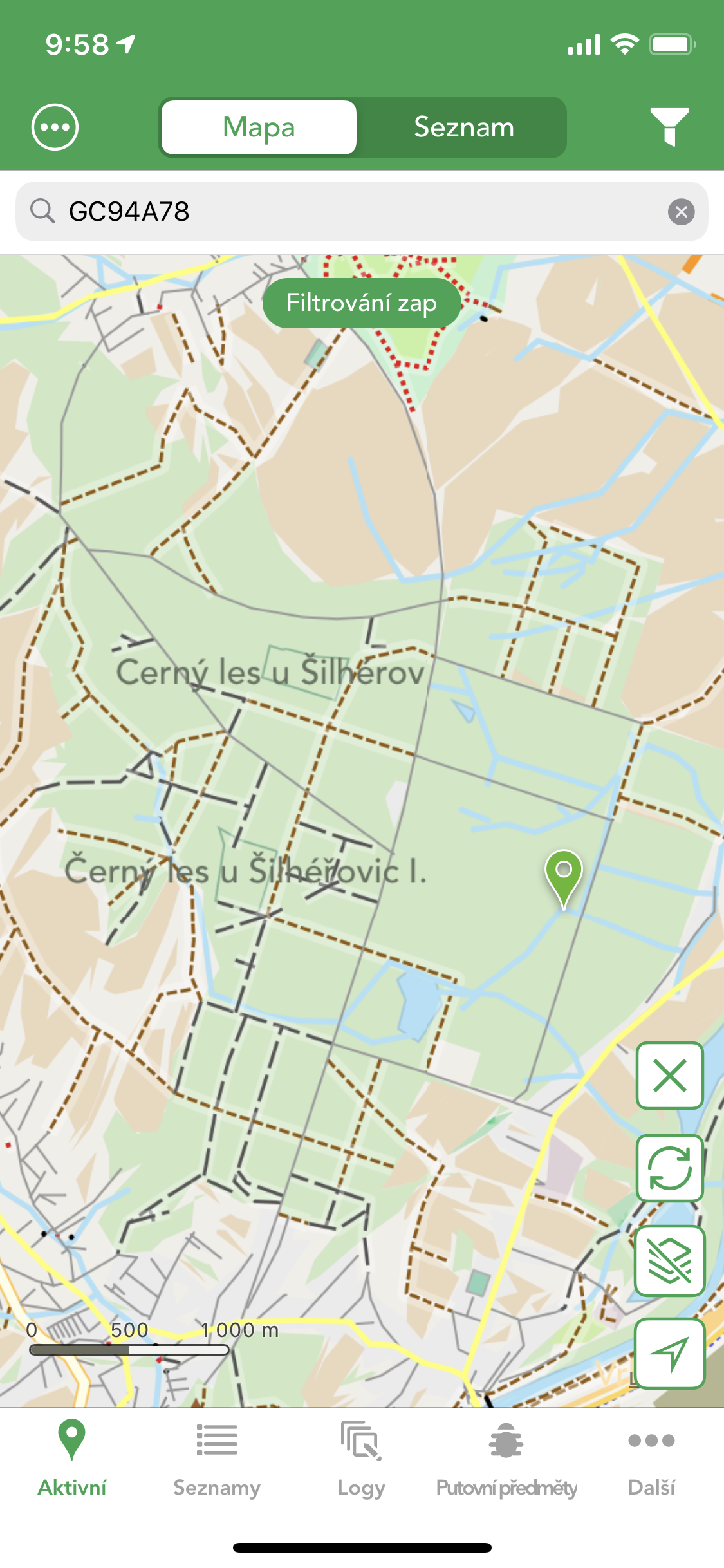
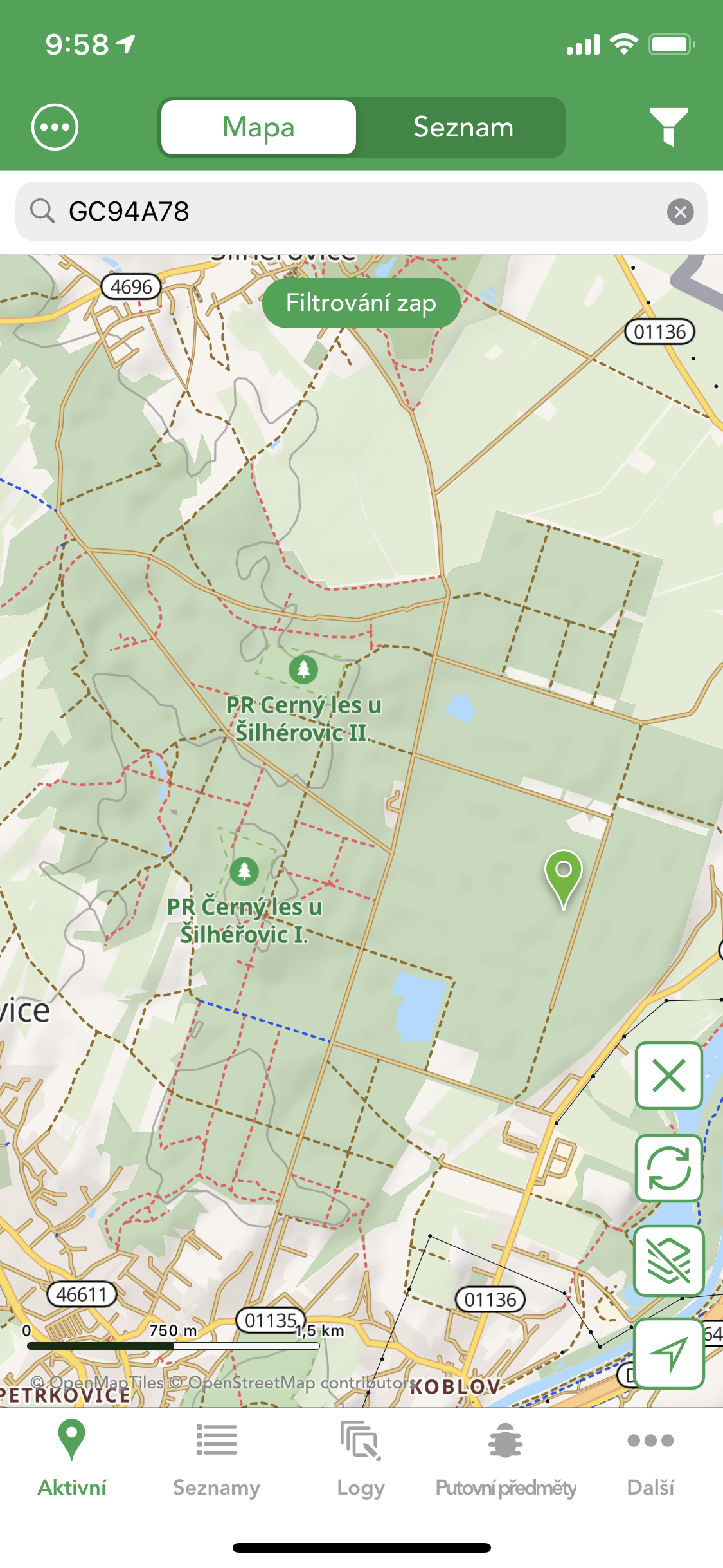
Holding the same position on the map when changing the view (LIVE, LIST).
in Feature Requests
Posted
For me it would be best if it is all in one map (one part).
I just have something prepare from home, but when I'm there, I look around (live map) to see what's there besides what's nearby. I find the separation a bit unnecessary in this case... And if the live map data would bother me, I would delete it with a cross like I do now.