

Udo
-
Posts
14 -
Joined
-
Last visited
-
Days Won
1
Posts posted by Udo
-
-
Hi,
as I can see at Geocaching API website, the requirements for API Access to Groundspeak data will change from January 1st, 2024.
Source: https://api.groundspeak.com/documentation
Will Cachly fulfill the new requirements in actual version 7. and we can still use it in 2024 or will there be an upgrade to version 8.0 offered?
Or do we have to use the G$ app in future (worst alternative)?
Happy hunting
Udo
-
On 9/28/2022 at 2:47 PM, Nic Hubbard said:
No, this isn't currently possibly, but maybe in a future version.
Would be great to get this function. Will there be a new version in the near future?
Udo
-
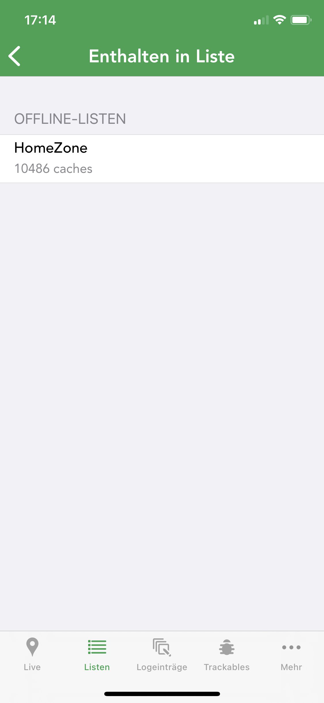
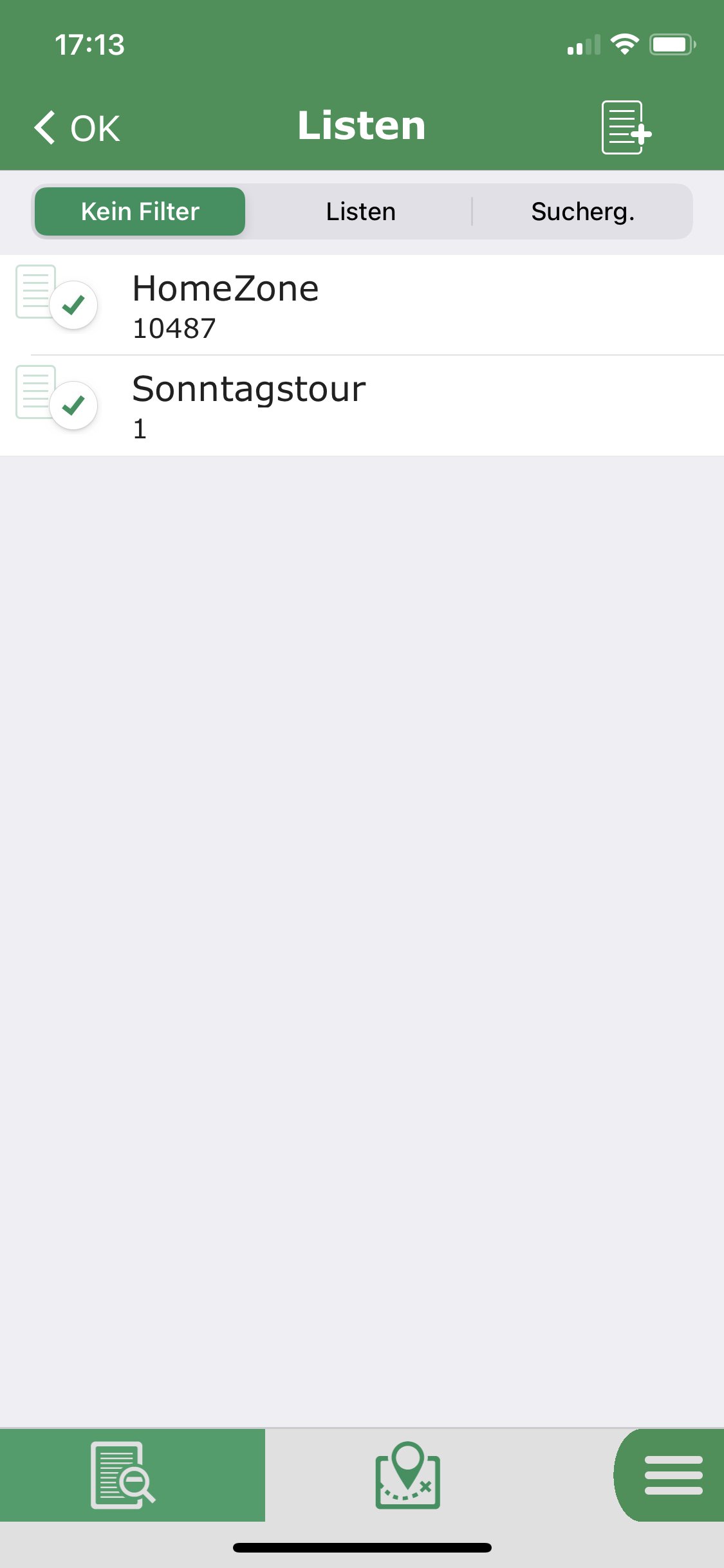
If you look in the cache details, you will find the lists, a cache is listed in:
In my old app "l4c" there was a checkmark in front of every list item. You could easily add or remove a single cache to a list by tapping on that icon. Additionally there was an icon on top of the page to create new lists:

So it was easy to plan a tour by adding caches to the list without leaving the cache-page.
-
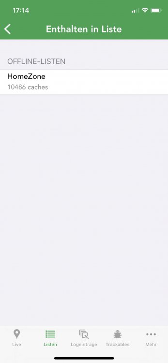
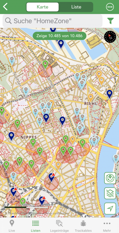
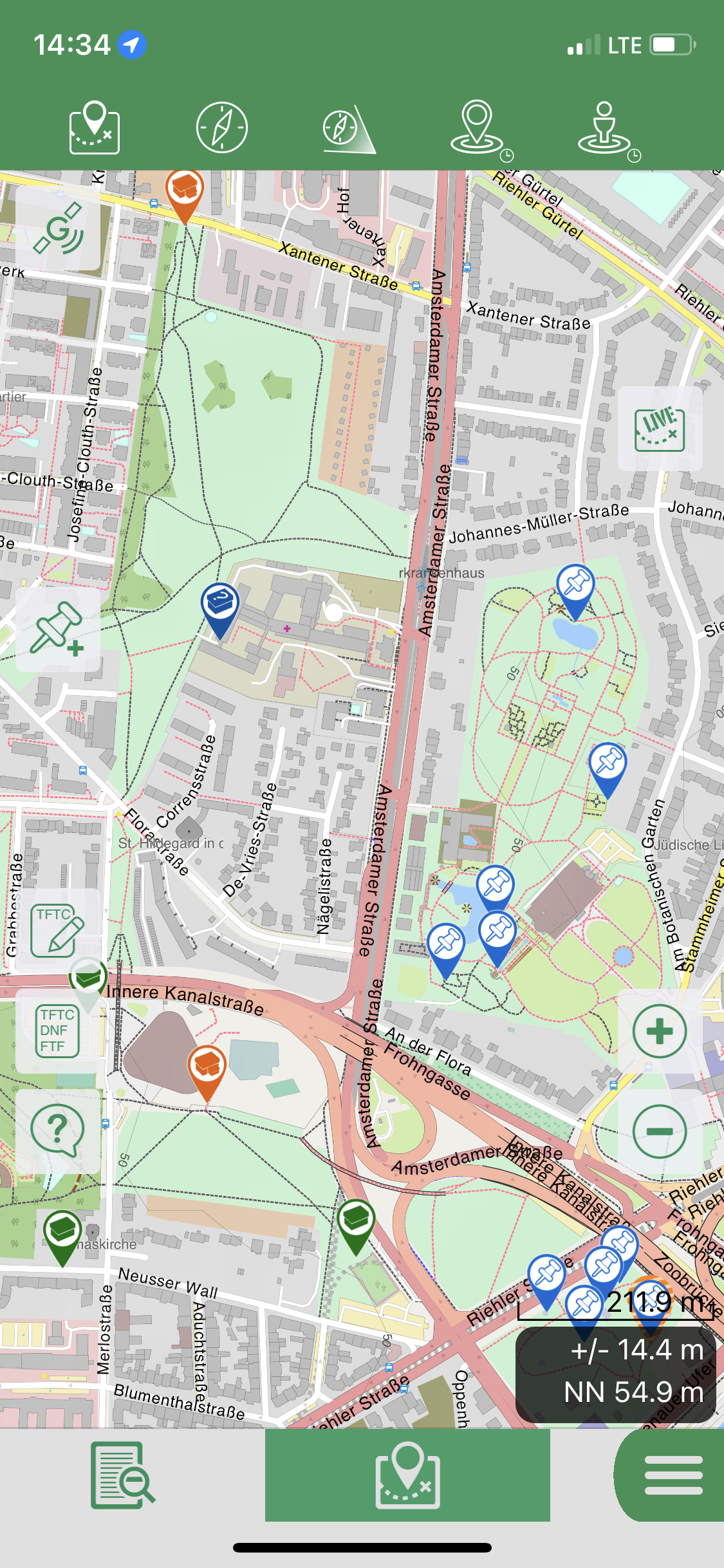
After starting the app, it shows the live map view. If I like to use an offline list, I have to switch to "lists" and choose my preferred list.
Even if "show all results" in settings was switched to 'off' all caches are displayed.
I would like to have an option that cachly stores the last viewed map including the chosen list and zoom level. If I switch lists, zoom level should be the same.
Udo
-
yes I know the feature. Would be the first app I have to use the three-finger-double-tap...
Thx Udo
-
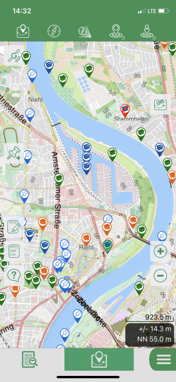
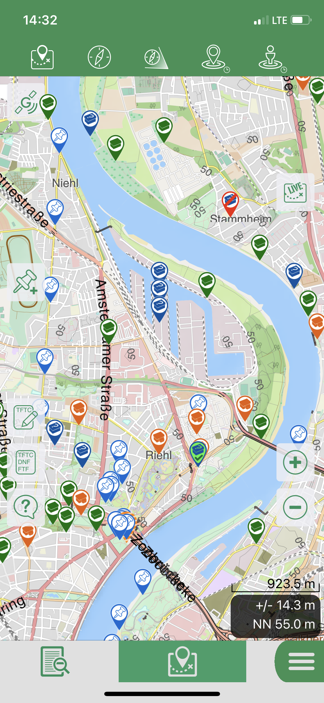
Yes, they ihre hard to see. At least if you have to wear glasses for reading.
I learned how to remove the found icons from the map using a filter. That helps a lot.
i thought that the icons in the app looking4cache, where are bigger. They are not
 , but the map is not as detailed as in Cachly. The icons in Cachly are not as colourful as in L4C so the seemed to be smaller.
outdoor it is sometimes hard to see if it a park poi or a traditional cache.

-
 Reduce the size to an iPhone screen size…
Udo -
No, there is one cache only: GC9HZTT
It is a traditional because I change solved unknown to what they are going to be. (In this case traditional)
Switch filter several times, removed log and checkmarks for "logged but not sent", marked found again
Now its gone

Error ID 10 T : Change user ...
Udo
-
Found this solution, but it seems not to work in 7.1.1 either...
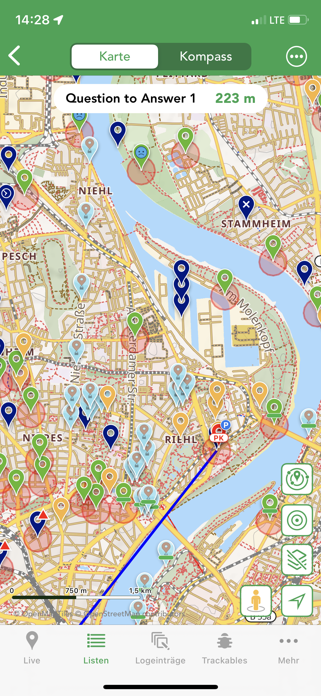
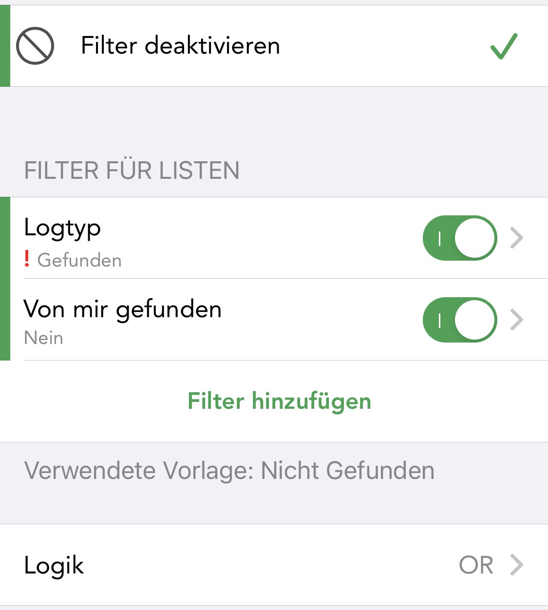
If I understand the function of cachly correctly, found caches get a small checkmark in the icon until the dataset is uploaded to the geocaching website. Then the color will change or i will see a smiley.
I tried to setup a filter to remove offline logged caches from the map, but I was not successful. Just the red distance circle disappears...


after activating the filter:
Udo
-
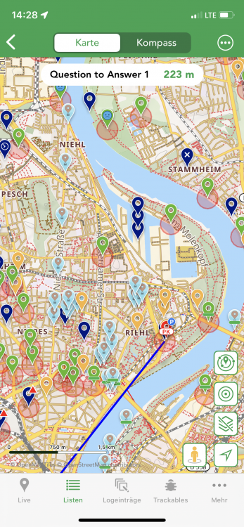
Hi,
Using Cachly with a high dpi display only shows very small cache icons. It is almost impossible to see if a cache has been found or not. If you don't have eagle eyes, it would be nice to be able to choose large icons (2x) in the settings.
Happy caching
Udo
-
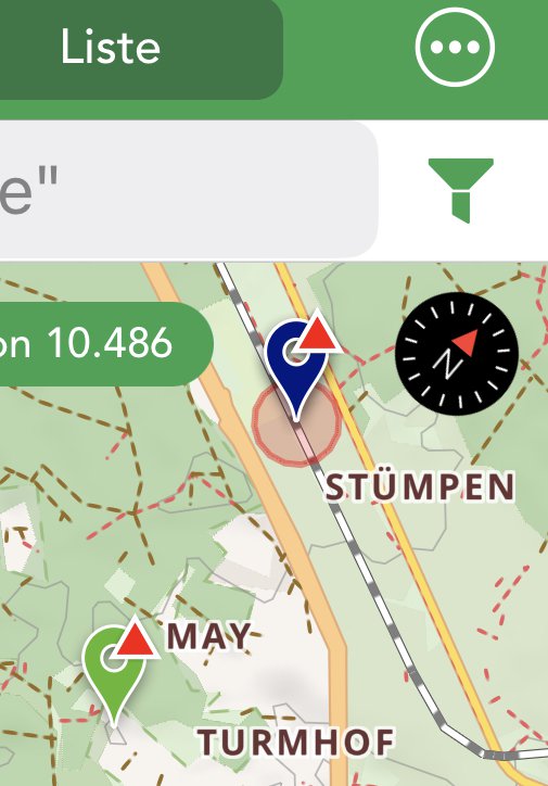
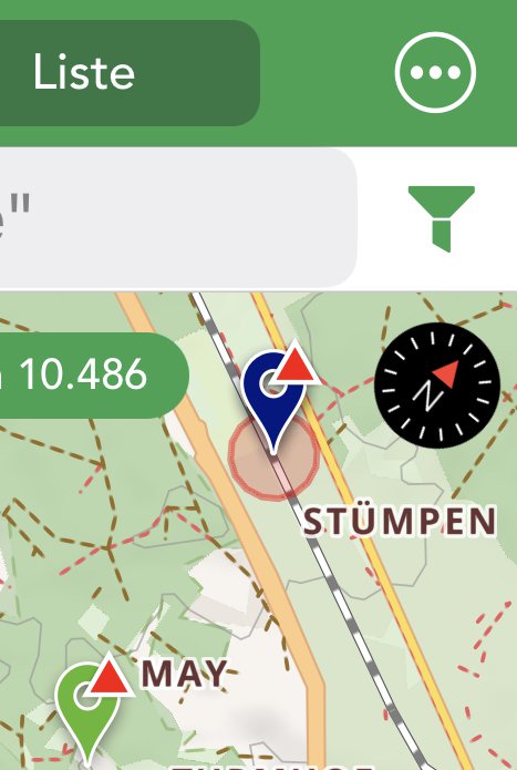
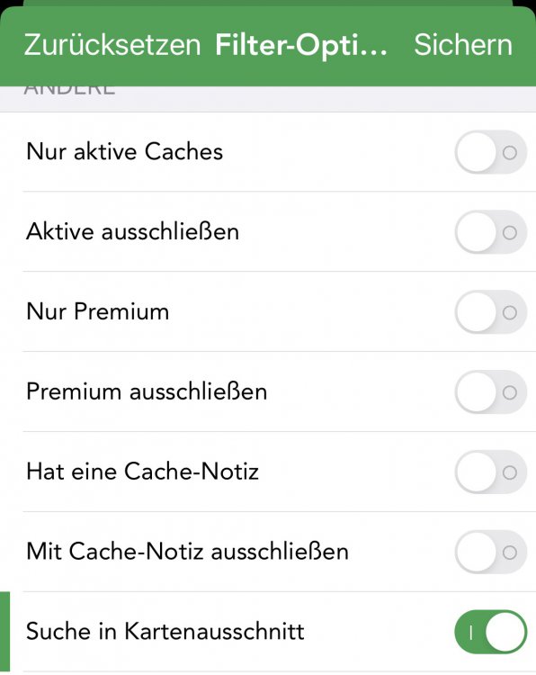
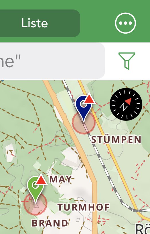
seems to be a small issue only:
Setting a filter to lab-caches only within the map-section (Kartenausschnitt) shows an empty result. Switching map-section to "off", displays the filtered lab caches.
Cachly: 7.1.1
IOS: 16.0.2. (iPhone 11 Pro)
GC Premium Member
Kind regards,
Udo
-
Additionally it would be nice if position and zoomlevel of the map remain the same, if you switch (offline) lists.
Perhaps a additional switch in settings?
Udo
-
Hi there,
using tampermonkey and a script, you can solve it on the geocaching webpage directly.
The code searches for 3 6-digit codes and calculates the coordinates.
You'll find a button in the top left corner of the Cache-page.
Unfortunately you have to click the button about three times to calculate the coordinates, insert the data into the personal notes, and correct the coordinates, but it is usually much faster than copy and paste...
Install Tampermonkey, Create a new empty script and paste the source-code
My source-code:
// ==UserScript==
// @name           calc Reverse Wherigo (Waldmeister) ohne DB
// @namespace      http://mediastation
// @match        http*://www.geocaching.com/seek/cache_details.aspx?*
// @match        http*://www.geocaching.com/geocache/GC*
// @grant   GM_getValue
// @grant   GM_setValue
// @grant   GM_log
// @grant   GM.xmlhttpRequest
// @grant   GM_addStyle
// @grant   unsafeWindow
// @grant   GM.openInTab
// @description    calculate coordinates from WIG 6-digit codes
//
//
// @version 1.1.0
// ==/UserScript==

/*--- Create a button in a container div.  It will be styled and
    positioned with CSS.
*/
var zNode = document.createElement ('div');
zNode.innerHTML = '<button id="myWIGButton" type="button">Solve Reverse WIG</button>';
zNode.setAttribute ('id', 'myWIGContainer');
document.body.appendChild (zNode);

//--- Activate the newly added button.
document.getElementById ("myWIGButton").addEventListener (
    "click", ButtonClickAction, false
);

//--- Style our newly added elements using CSS.
GM_addStyle ( multilineStr ( function () {/*!
    #myWIGContainer {
        position:               absolute;
        top:                    0;
        left:                   10px;
        font-size:              10px;
        background:             red;
        opacity:                0.9;
        z-index:                1100;
        padding:                5px 20px;
    }
    #myWIGButton {
        cursor:                 pointer;
    }
    #myWIGContainer p {
        color:                  red;
        background:             white;
    }
*/} ) );

function gowherei(args){
  		var answer= [];
		var AAAAAA = parseFloat(args[1]);
        var BBBBBB = parseFloat(args[2]);
        var CCCCCC = parseFloat(args[3]);
  			//alert(AAAAAA + ' - ' + BBBBBB + ' - ' + CCCCCC);
  		var LongVORZ = 1.0;
        var LatKOMP = 0.0;
        var LatVORZ = 1.0;
        var LongKOMP = 0.0;
    	if (( AAAAAA % 1000 - AAAAAA % 100) / 100 == 1) {
            LatVORZ = 1;
            LongVORZ = 1;
            }
        if ((AAAAAA % 1000 - AAAAAA % 100) / 100 == 2) {
		   LatVORZ = -1;
		   LongVORZ = 1;
           }
        if ((AAAAAA % 1000 - AAAAAA % 100) / 100 == 3) {
		   LatVORZ = 1;
		   LongVORZ = -1;
           }
	    if ((AAAAAA % 1000 - AAAAAA % 100) / 100 == 4) {
		   LatVORZ = -1;
		   LongVORZ = -1;
           }

        if ((((CCCCCC % 100000 - CCCCCC % 10000) / 10000 + (CCCCCC % 100 - CCCCCC % 10) / 10) % 2) == 0){
            LongKOMP = (LongVORZ * ((AAAAAA % 100000 - AAAAAA % 10000) / 10000 * 100 + (CCCCCC % 1000000 - CCCCCC % 100000) / 100000 * 10 + CCCCCC % 10 + (BBBBBB % 1000 - BBBBBB % 100) / 100 * 0.1 + (BBBBBB % 1000000 - BBBBBB % 100000) / 100000 * 0.01 + (AAAAAA % 100 - AAAAAA % 10) / 10 * 0.001 + (CCCCCC % 100000 - CCCCCC % 10000) / 10000 * 1.0E-4 + BBBBBB % 10 * 1.0E-5));
		}
		else {
          LongKOMP = (LongVORZ * ((BBBBBB % 100 - BBBBBB % 10) / 10 * 100 + CCCCCC % 10 * 10 + (AAAAAA % 100 - AAAAAA % 10) / 10 + (AAAAAA % 100000 - AAAAAA % 10000) / 10000 * 0.1 + (BBBBBB % 1000 - BBBBBB % 100) / 100 * 0.01 + BBBBBB % 10 * 0.001 + (CCCCCC % 100000 - CCCCCC % 10000) / 10000 * 1.0E-4 + (BBBBBB % 100000 - BBBBBB % 10000) / 10000 * 1.0E-5));
			}
		if ((((CCCCCC % 100000 - CCCCCC % 10000) / 10000 + (CCCCCC % 100 - CCCCCC % 10) / 10) % 2) == 0){
                LatKOMP = (LatVORZ * ((AAAAAA % 10000 - AAAAAA % 1000) / 1000 * 10 + (BBBBBB % 100 - BBBBBB % 10) / 10 + (BBBBBB % 100000 - BBBBBB % 10000) / 10000 * 0.1 + (CCCCCC % 1000 - CCCCCC % 100) / 100 * 0.01 + (AAAAAA % 1000000 - AAAAAA % 100000) / 100000 * 0.001 + (CCCCCC % 100 - CCCCCC % 10) / 10 * 1.0E-4 + AAAAAA % 10 * 1.0E-5));
		}
        else{
			LatKOMP = (LatVORZ * ((BBBBBB % 1000000 - BBBBBB % 100000) / 100000 * 10 + AAAAAA % 10 + (AAAAAA % 10000 - AAAAAA % 1000) / 1000 * 0.1 + (CCCCCC % 1000000 - CCCCCC % 100000) / 100000 * 0.01 + (CCCCCC % 1000 - CCCCCC % 100) / 100 * 0.001 + (CCCCCC % 100 - CCCCCC % 10) / 10 * 1.0E-4 + (AAAAAA % 1000000 - AAAAAA % 100000) / 100000 * 1.0E-5));
			}
		answer[0]=LatKOMP.toFixed(6);
		answer[1]=LongKOMP.toFixed(6);
		return (answer);
}
function wig_split (wig){
	const myregex = /.*?([0-9]{6}).*?([0-9]{6}).*?([0-9]{6})/;
    let wig_value = myregex.exec(wig);
  	return(wig_value);
		}

function coordtotext(coord,my_type){
  	if (coord<0 && my_type =='N'){my_type='S';}
		if (coord<0 && my_type =='E'){my_type='W';}
		coord=Math.abs(coord);
  	var my_grad=Math.floor(coord);
  	var my_dez=(coord - my_grad) *60;
  	my_dez=my_dez.toFixed(3);
  	var my_text = my_type + ' ' +my_grad + ' ' + my_dez;
  	//alert(my_text);
    return(my_text);
	}

function ButtonClickAction (zEvent) {
    /*--- For our dummy action, we'll just add a line of text to the top
        of the screen.
    */
    var udo_GC_Name=btoa(encodeURIComponent(document.getElementById("ctl00_ContentBody_CacheName").textContent));
  	var udo_GC_id=btoa(encodeURIComponent(document.getElementById("ctl00_ContentBody_CoordInfoLinkControl1_uxCoordInfoCode").textContent));
    var udo_GC_tupel=wig_split(encodeURIComponent(document.getElementById("ctl00_ContentBody_LongDescription").textContent));
  	var udo_coord=gowherei(udo_GC_tupel);
    //alert(udo_GC_tupel);
    //alert(udo_coord[0]+' - ' +udo_coord[1]);
    var mylat=btoa(coordtotext(udo_coord[0],'N'));
    var mylon=btoa(coordtotext(udo_coord[1],'E'));
  	//alert (mylat + ' ' + mylon);
  	var udo_GC_desc ='Lat (dec)  ' + udo_coord[0] + '\n';
 		udo_GC_desc +='Lon (dec) ' + udo_coord[1] + '\n';
		udo_GC_desc +='coordinate ' + atob(mylat) + ' ' + atob(mylon) + '\n';
		udo_GC_desc +='calculated '+ Date() + '\n';
		udo_GC_desc +='tupel ' + udo_GC_tupel[1] + '-' + udo_GC_tupel[2] + '-'+ udo_GC_tupel[3] + '\n';

    var my_gc_coord = atob(mylat) + ' ' + atob(mylon);
    document.getElementById("viewCacheNote").click();
    document.getElementById("cacheNoteText").value=udo_GC_desc;
    document.querySelector(".js-pcn-submit").click();
    document.getElementById("uxLatLon").click();
    document.getElementById("newCoordinates").value=my_gc_coord;// + ' ' + atob(mylon) ;
    document.querySelector(".btn-cc-parse").click();
    document.querySelector(".btn-cc-accept").click();
  }

function multilineStr (dummyFunc) {
    var str = dummyFunc.toString ();
    str = str.replace (/^[^\/]+\/\*!?/, '') // Strip function () { /*!
    .replace (/\s*\*\/\s*\}\s*$/, '') // Strip */ }
    .replace (/\/\/.+$/gm, '') // Double-slash comments wreck CSS. Strip them.
            ;
    return str;
}
sometimes it also gets dates, then an old-school copy & paste has to be done...
Please take it, as it is, no warranty, no guarantee that it will run correctly. I calculate all Waldmeister WIG with this tool.
hth
Udo


Premium Offline Maps with LIDAR Hillshading
in Feature Requests
Posted
Hi,
preferred I am using the Premium offline Maps including the contour lines and hillshading.
Would it be possible to switch from STRM Data to LIDAR shading, which ist much more accurate?
E.g. https://sonny.4lima.de/ compares both modells: https://bit.ly/comparisons-lidar-srtm
I know that I may use satellite-flyover maps for a detailed view, but for hiking and geocaching i prefer OSM maps.
happy hunting
Udo